Winter 2026/27 · Okinawa, Kerama, Miyako, Yaeyama
The Ryukyu islands run south from Kyushu almost to Taiwan, and plenty of them fit in a day’s ride.
We measure every ride in our route library against open map and elevation data, and the planner strings the islands together into a trip you can book.

Photo keizo okada · Unsplash
Eleven regions
Choose your islands島々
 慶良間諸島
慶良間諸島Kerama Islands
An hour or less by boat from Naha's Tomari Port, the Keramas have water clear enough to earn its own name, Kerama blue. Humpback whales come to calve offshore through the winter, and the villages go quiet once the last ferry leaves.
Kume-jima
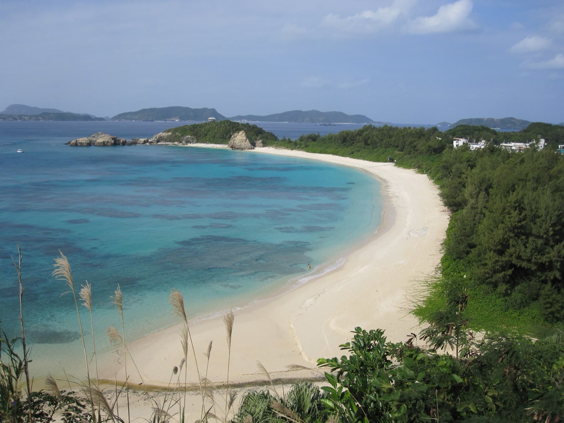
Kume-jima sits a short flight west of Naha with a long white sandbar off its east coast. The island rides well in a day, and the village of Nakazato keeps its stone walls and old houses.
Miyako Islands
Miyako is flat, ringed by reef and linked to its neighbours by long bridges you can ride across in a morning. Maehama and Sunayama draw the crowds, and the island has its own soba, its own language and its own way of drinking.
 八重山諸島
八重山諸島Yaeyama Islands
Ishigaki is the hub for a ring of islands with nothing else like them in Japan: the jungle and mangrove rivers of Iriomote, Taketomi's coral-sand lanes, the cattle pastures of Kuroshima. Boats leave Ishigaki's island terminal all day, and the furthest go to Hateruma under the Southern Cross.
Yoron
Yoron belongs to Kagoshima but sits within sight of Okinawa's northern cape. A road loops the whole island, and at low tide a sandbar called Yurigahama rises out of the lagoon.
 那覇・首里
那覇・首里Naha & Shuri
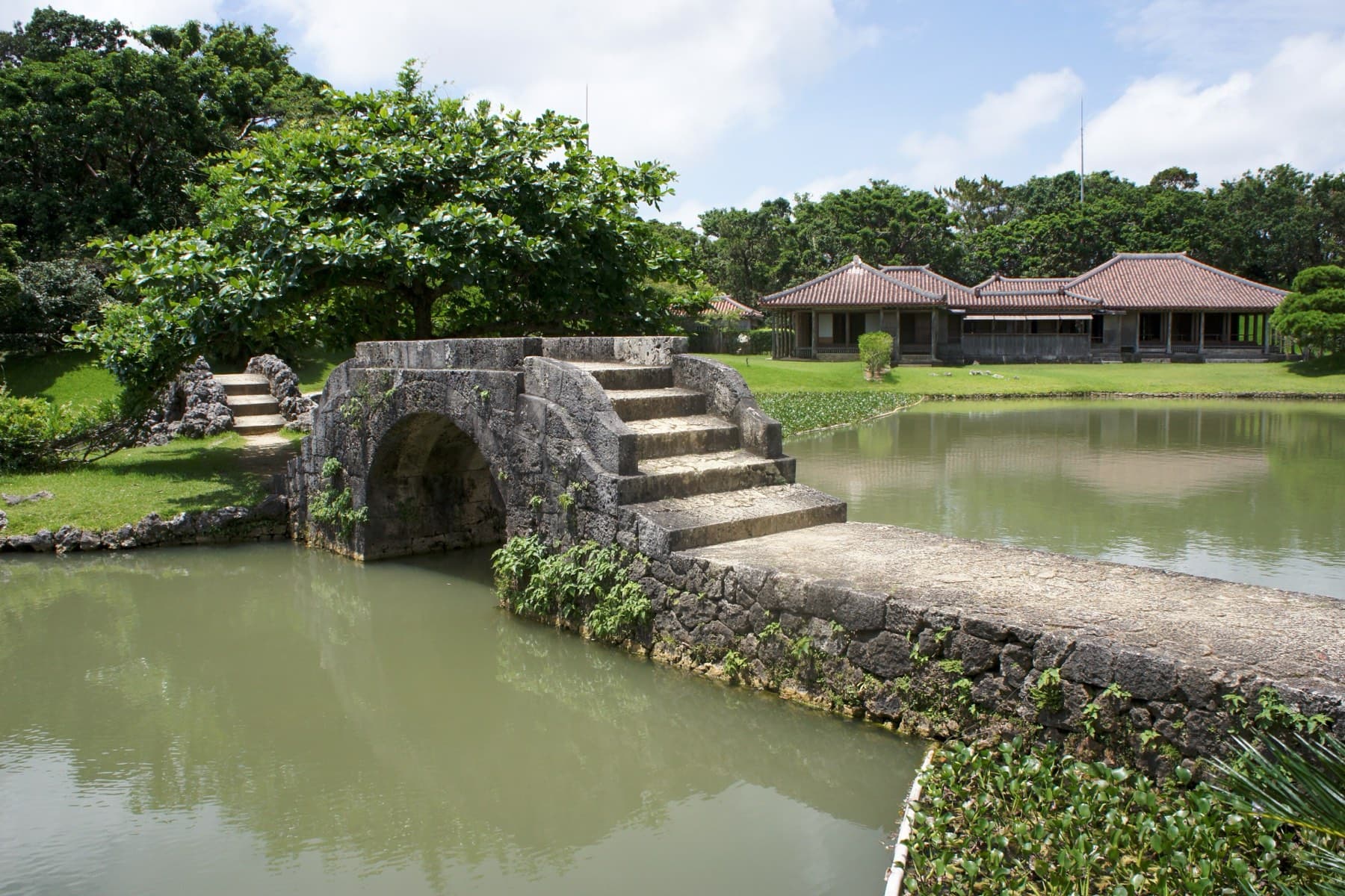
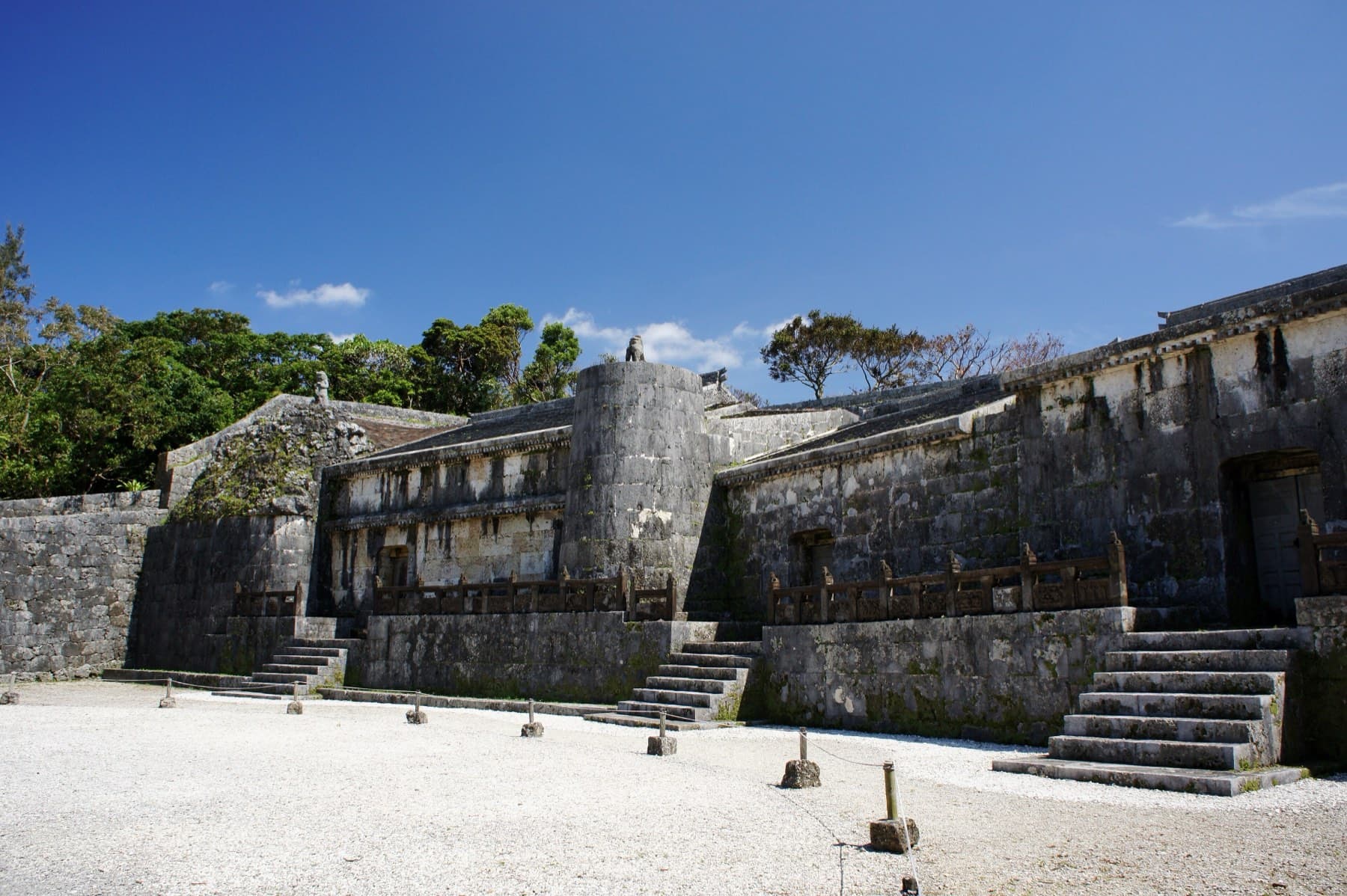
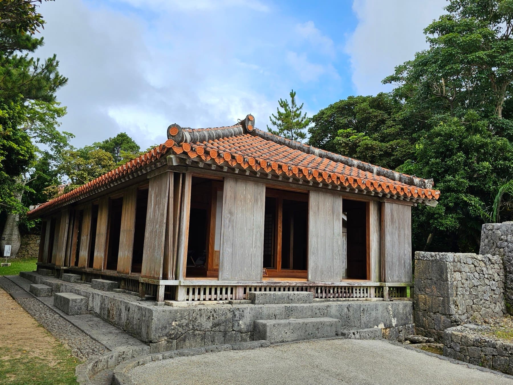
Most trips start at Naha's airport, a short monorail ride from Kokusai-dori. The old royal capital of Shuri sits on the ridge above the city, and the potters' lanes of Tsuboya run down toward the market where the city still does its shopping.
The South
Sugar cane, limestone cliffs and the island's most sacred grove fill the south. This is where the Battle of Okinawa ended, and the peace memorials at Mabuni ask for an unhurried afternoon. Cafés perch on the Chinen headland, and Ojima fries tempura at the end of a short bridge.
 中部
中部Central Okinawa
Chatan's seawall, Koza's music bars and the base towns along Route 58 show the American side of the island. Out east the Kaichu Doro sea road crosses the shallows to four islands that still farm and fish, and two of the finest castle walls in the kingdom stand on the ridges above.
Yomitan & Onna
The resort coast runs north from Yomitan's potters' village to the cliffs at Cape Manzamo, past hotel beaches and fishing ports. Divers queue at the Maeda headland for the Blue Cave whenever the swell lets them in.
 名護・本部
名護・本部Nago & Motobu
The Motobu peninsula holds the aquarium, the fukugi-tree lanes of Bise and the soba road, with Kouri and Sesoko a bridge away. Cherry trees on Yaedake flower from late January, when the climb to the summit turns pink.
Yanbaru
The forested north is a national park and home to the flightless Okinawa rail. Roads wind up the coast to Cape Hedo past villages that live on shikuwasa and fishing, and the climbs inland are the hardest riding on the island.
January to March
Plan around whales, blossom and the north wind冬
Jan · Feb
Okinawa cherry blossom season
January to mid-February; the north of Okinawa Island blooms first and the bloom moves south
Jan
Churashima Okinawa Century Run
A Saturday and Sunday in mid- to late January, based in Onna (last confirmed edition 19–20 January 2019)
Nov · Dec · Jan · Feb
Cycle Ball Okiichi (Okinawa island loop challenge)
A self-guided app challenge from late November to mid-February, with one supported group loop in early February (2025–26 season)
Jan
Ishigaki Island Marathon
A Sunday in mid-January (17 January in 2027)
Jan · Feb
Motobu Yaedake Cherry Blossom Festival
Opens on the third Saturday of January and runs into early February
Jan · Feb
Nago Cherry Blossom Festival
The last weekend of January
Jan · Feb
Nakijin Gusuku Cherry Blossom Festival
Late January into early February
Jan · Feb · Mar · Apr · May · Jun · Jul · Aug · Sep · Oct · Nov · Dec
Okinawa Cycling Association monthly ride
One Sunday a month, meeting at 09:00 and finishing around 13:00; the start park changes month to month
The route library
Ride the islands走る
ikema-loop
Miyako-jima
40.7 km · +197 m · 38% quiet roads
Kaichu Doro and the four islands
Central
34.5 km · +272 m · 43% quiet roads
Kouri-jima and Yagaji loop
Kouri-jima
25 km · +261 m · 0% quiet roads
kurima-loop
Miyako-jima
12 km · +86 m · 100% quiet roads
miyako-bridges
Miyako-jima
47.2 km · +234 m · 64% quiet roads
Miyakojima triathlon bike course
Miyako-jima
121.7 km · +746 m · 19% quiet roads
Motobu Peninsula loop from Nago
Motobu
Route data building
Warumi and Kouri bridges from Nago
Motobu
42.5 km · +383 m · 63% quiet roads
From minshuku to resorts
Stay on the water or in the village宿
Halekulani Okinawa
Onna · West coast
Luxury hotel¥¥¥
Hoshinoya Okinawa
Yomitan · West coast
Luxury hotel¥¥¥¥
The Busena Terrace
Nago · Motobu
Resort¥¥¥
Pension Cha Villa
Zamami Village · Zamami-jima
Guesthouse¥¥
AKA LODGE by The Terrace Hotels
Aka Village · Aka-jima
Luxury hotel¥¥¥¥
HOSHINOYA Taketomi Island
Taketomi Village · Taketomi-jima
Luxury hotel¥¥¥¥
Hotel Shigira Mirage
Ueno · Miyako-jima
Luxury hotel¥¥¥¥
Hyakuna Garan
Tamagusuku · South
Luxury hotel¥¥¥¥
Beaches and dive sites
Swim, snorkel and dive the reef浜
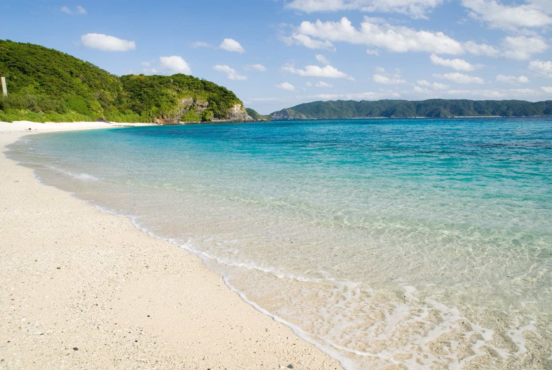
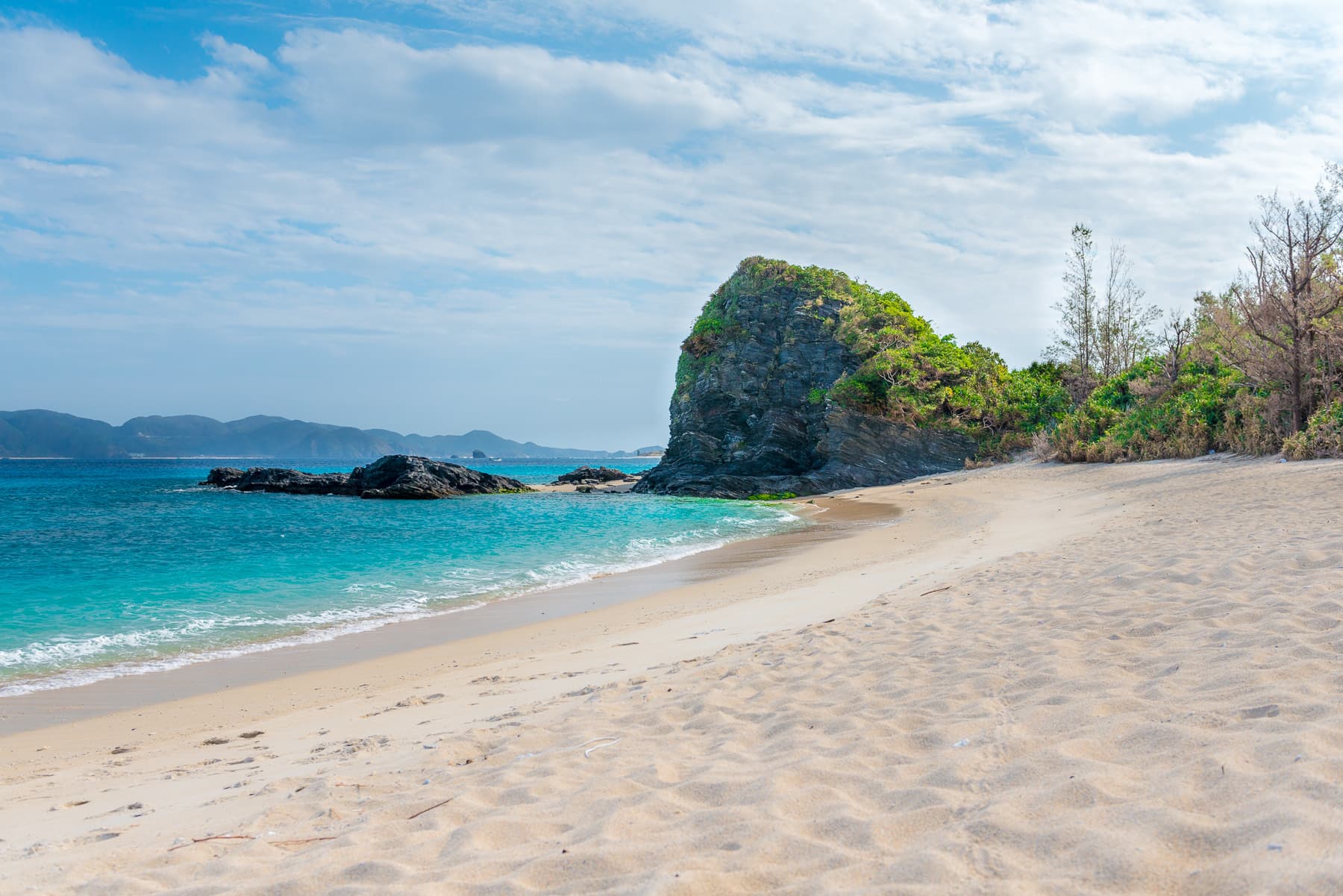

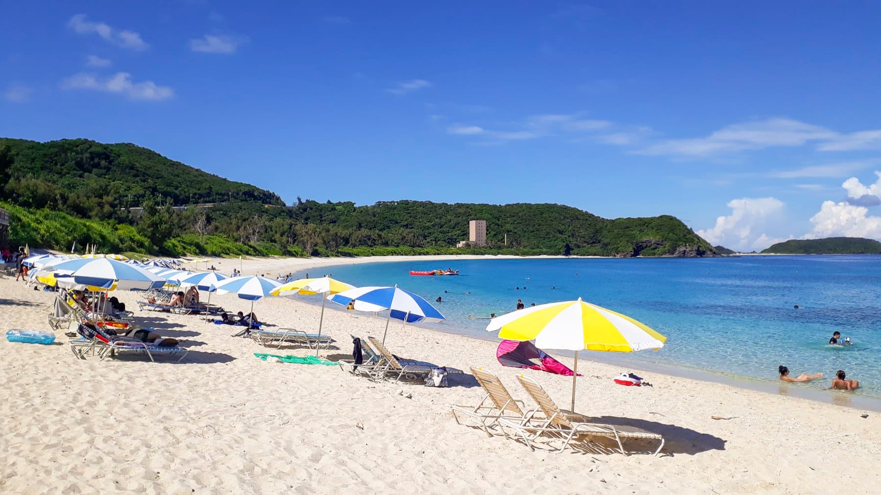
Furuzamami Beach
Zamami Village · Zamami-jima
BeachSnorkel 5/5
Kondoi Beach
Taketomi Village · Taketomi-jima
BeachSnorkel 1/5
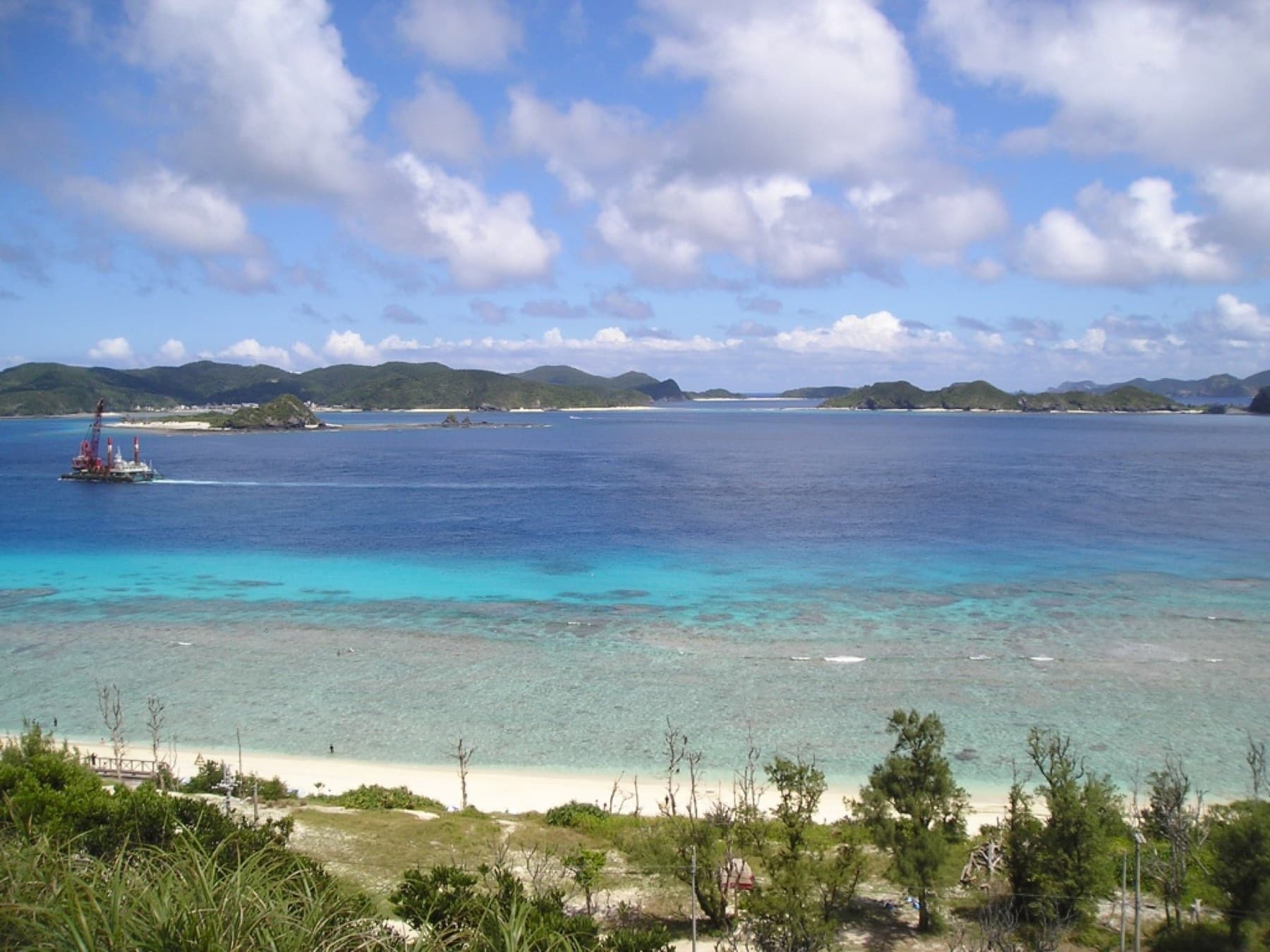
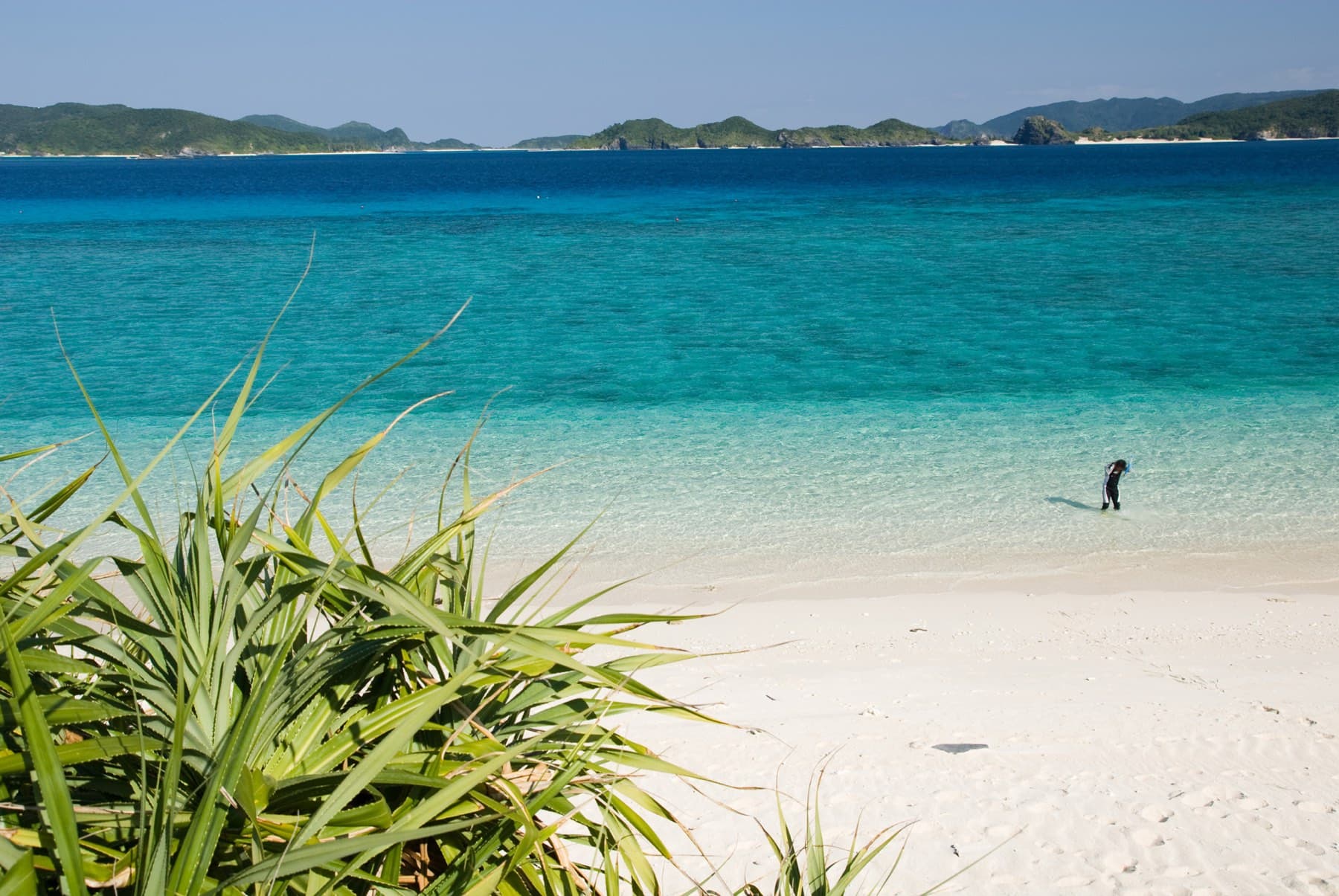
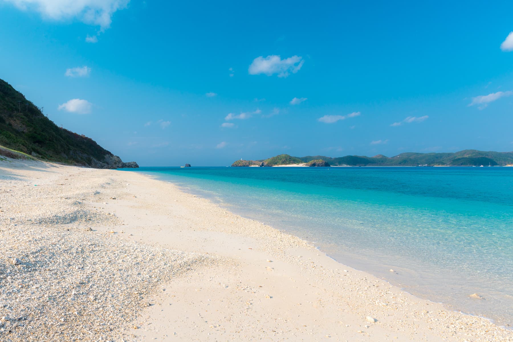
Nishibama Beach
Aka Village · Aka-jima
BeachSnorkel 5/5
Sunayama Beach
Hirara · Miyako-jima
Beach
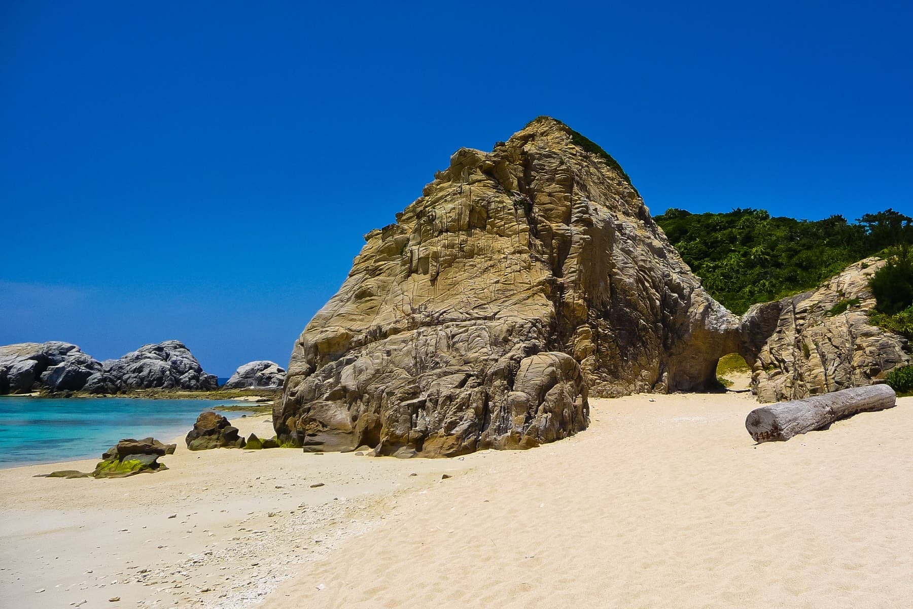
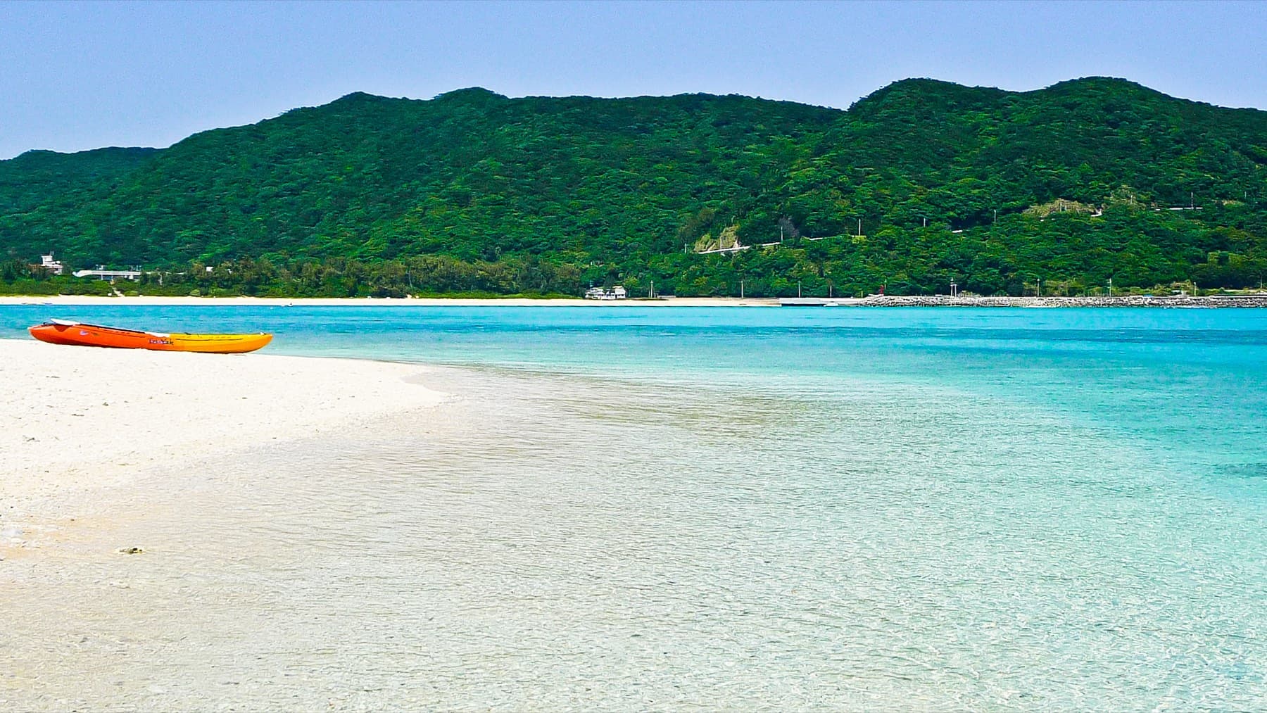
Hatenohama
Eef Beach Area · Kume-jima
SandbarSnorkel 4/5
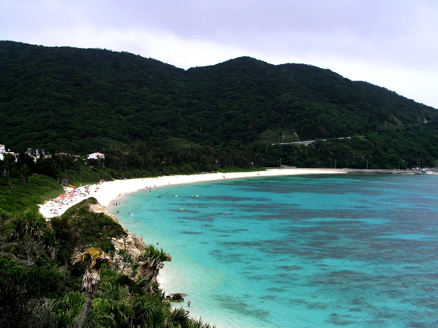
Aharen Beach
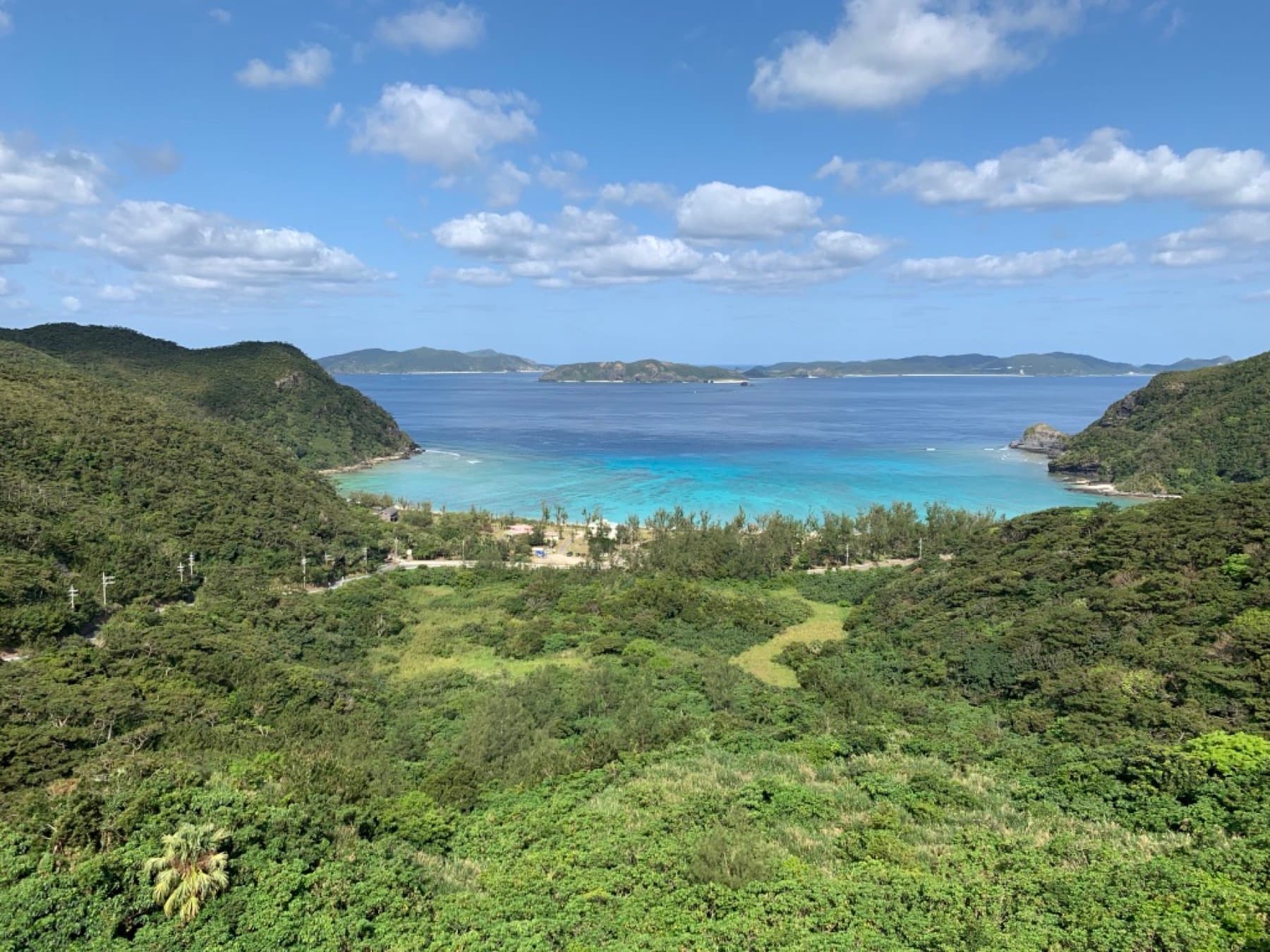
Aharen · Tokashiki-jima
BeachSnorkel 4/5
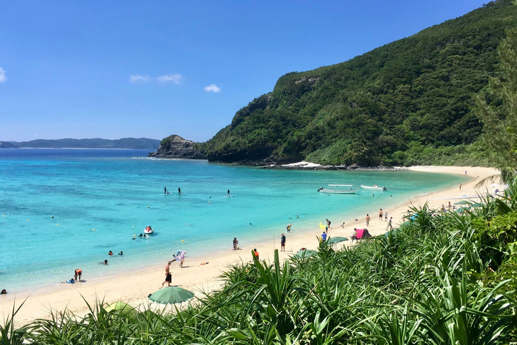
Tokashiku Beach
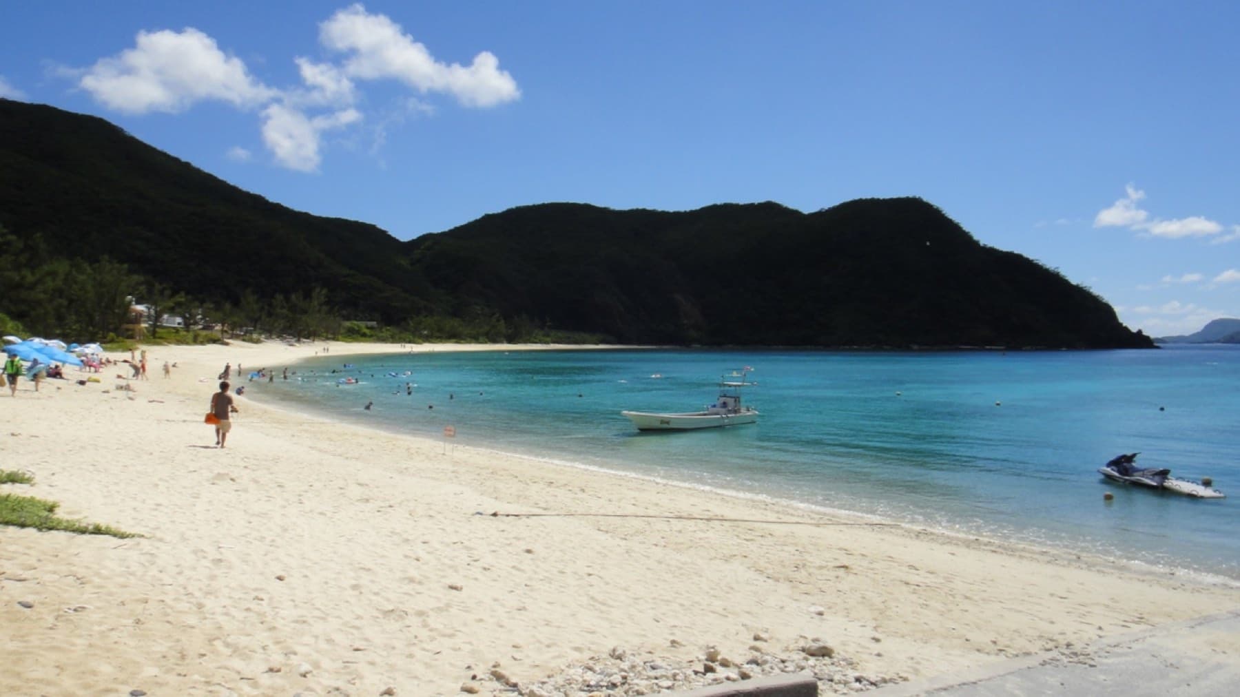
Tokashiki Village · Tokashiki-jima
BeachSnorkel 4/5
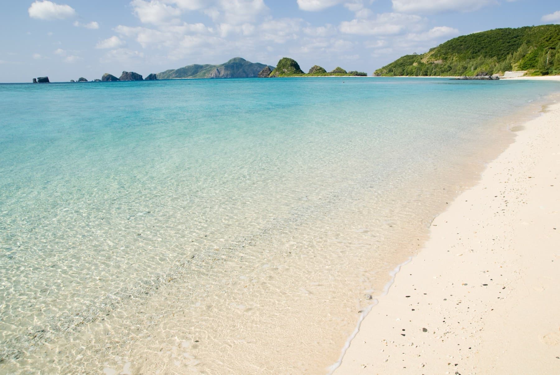
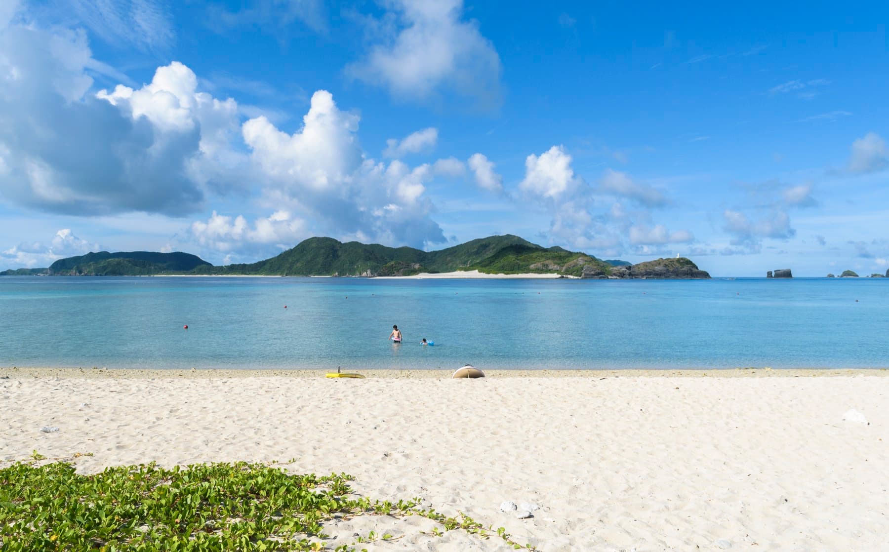
Ama Beach
Zamami Village · Zamami-jima
BeachSnorkel 4/5
Eat and drink
Eat soba at lunch and drink awamori after dark食
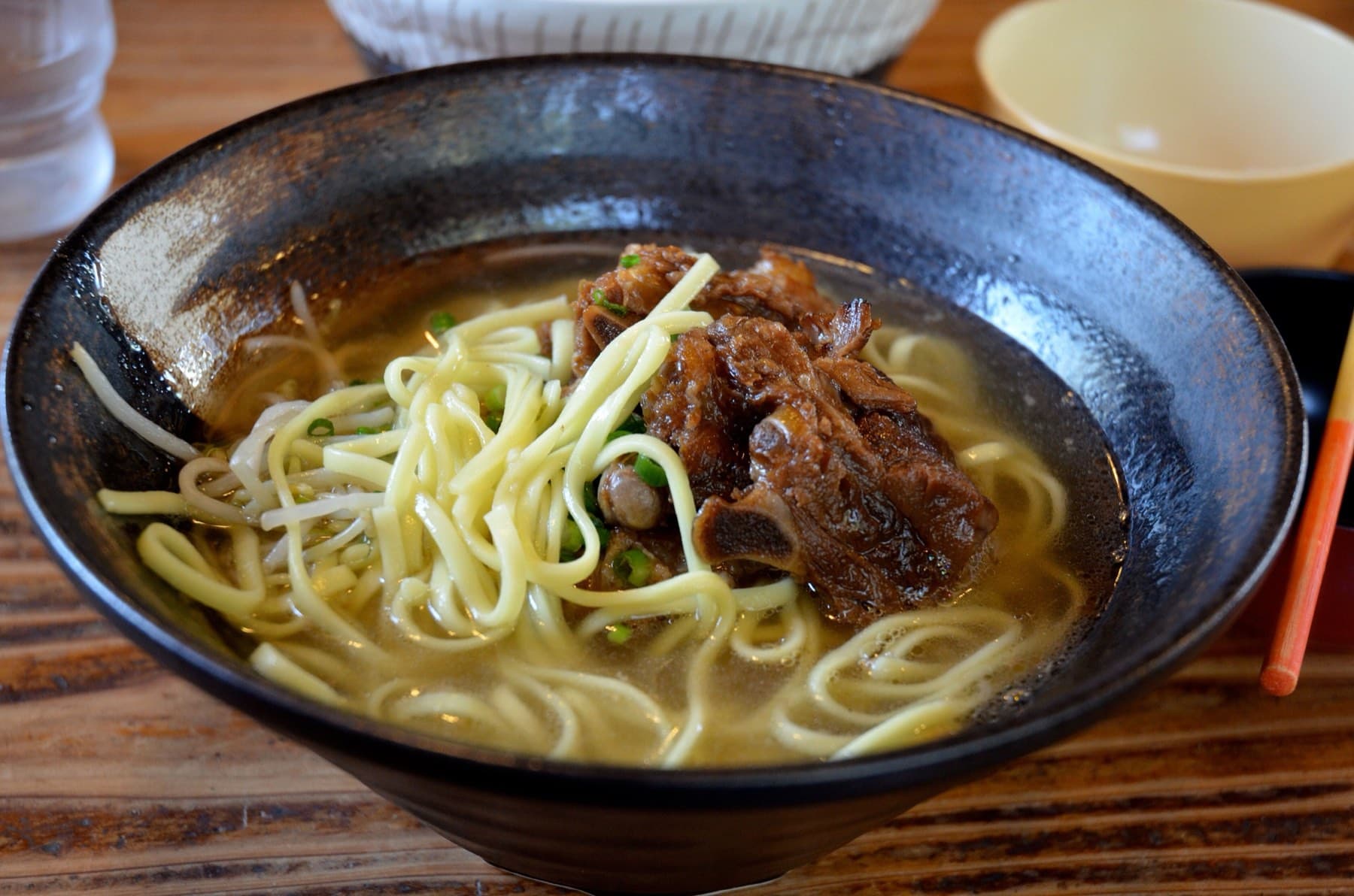
Soba Dokoro Takenoko
Taketomi Village · Taketomi-jima
Soba¥
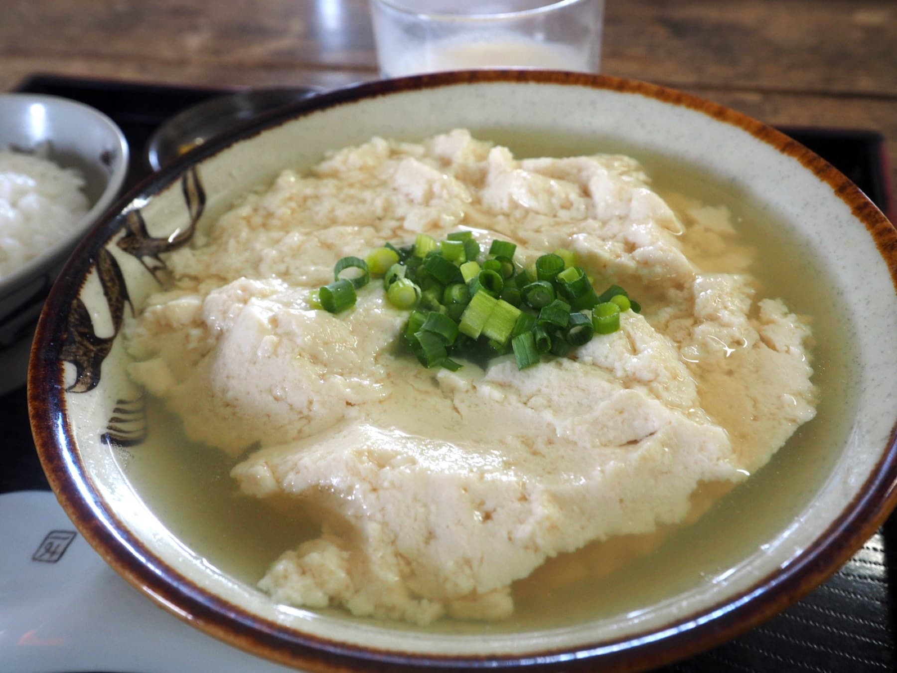
Tofu no Higa
Ishigaki City · Ishigaki-jima
Shokudo¥
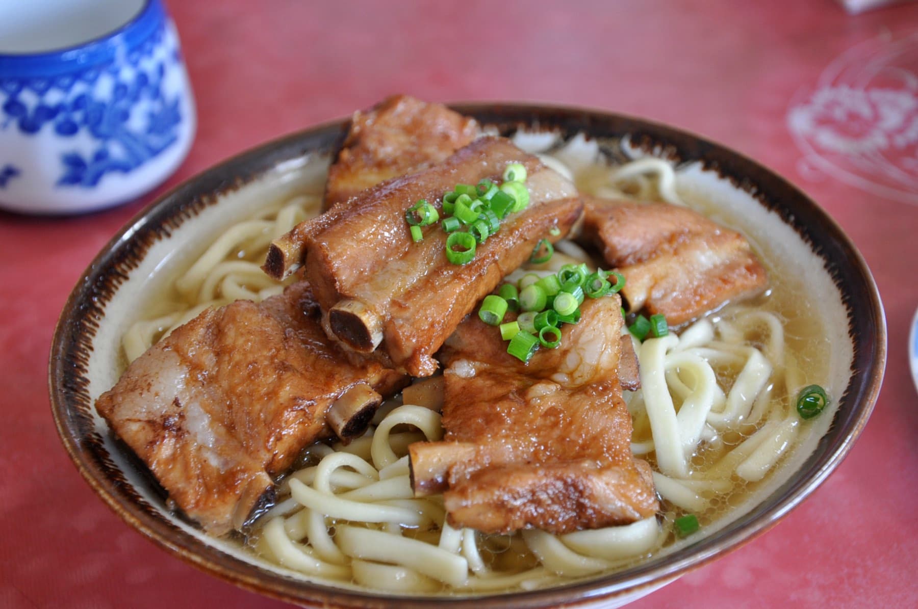
Yanbaru Soba
Motobu
Soba¥
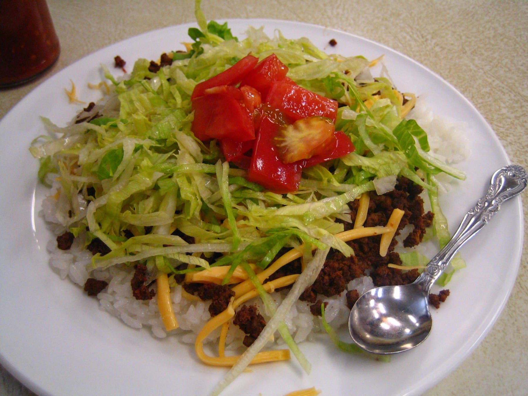
Jack's Steak House
Naha
Steak¥¥
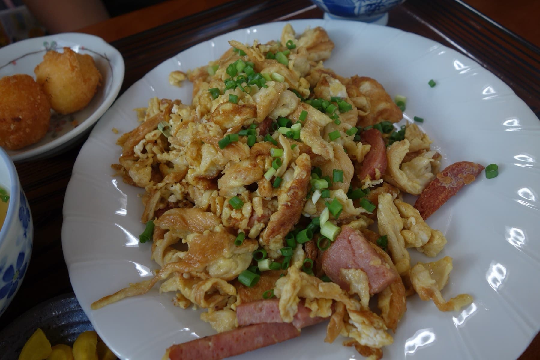
Shirasa
Kouri Village · Kouri-jima
Seafood¥¥
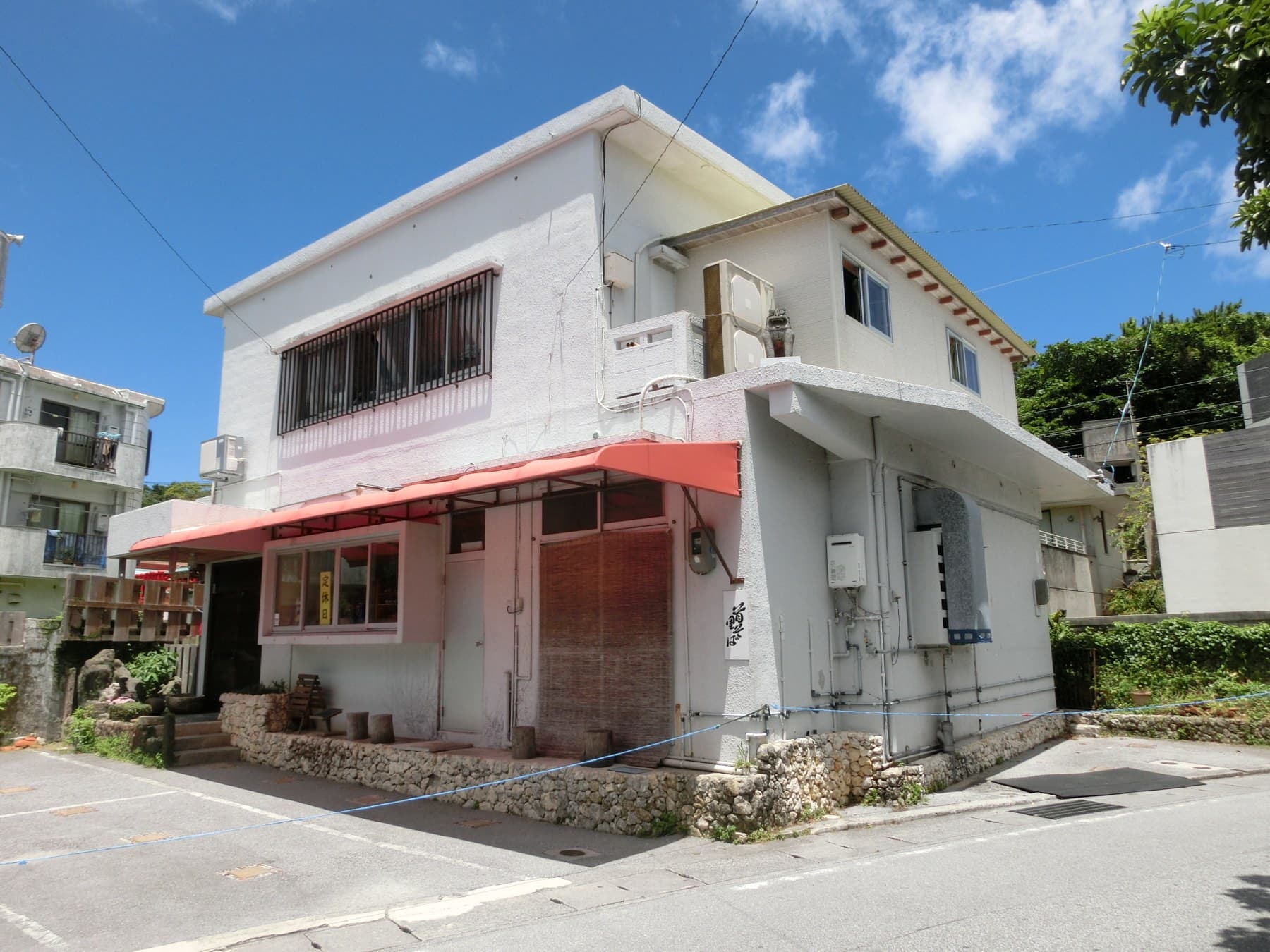
Shuri Soba
Shuri · Naha
Soba¥
Aka Fisheries Co-op Store
Aka Village · Aka-jima
Seafood¥
Akaishi Shokudo
Ibaruma · Ishigaki-jima
Soba¥
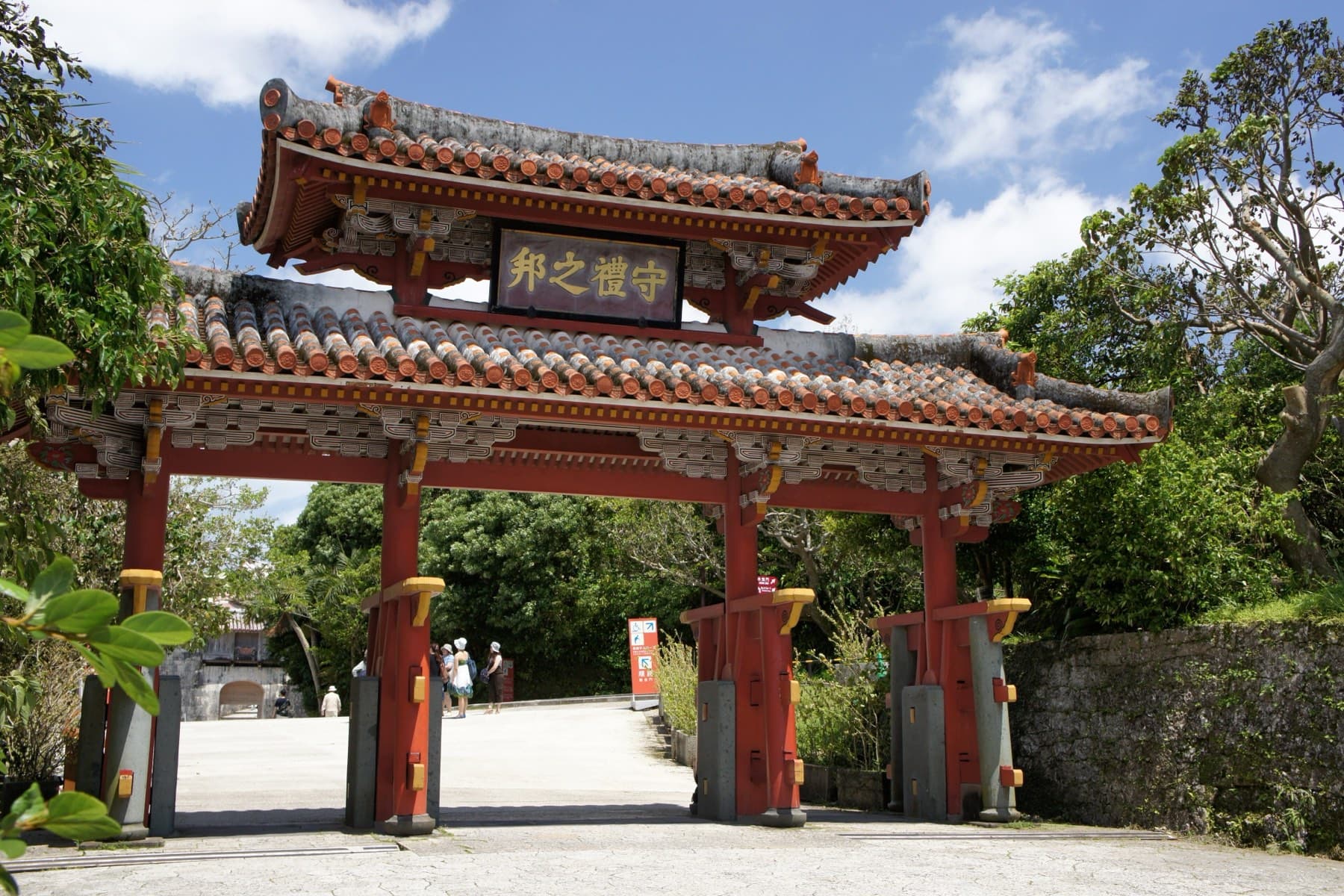
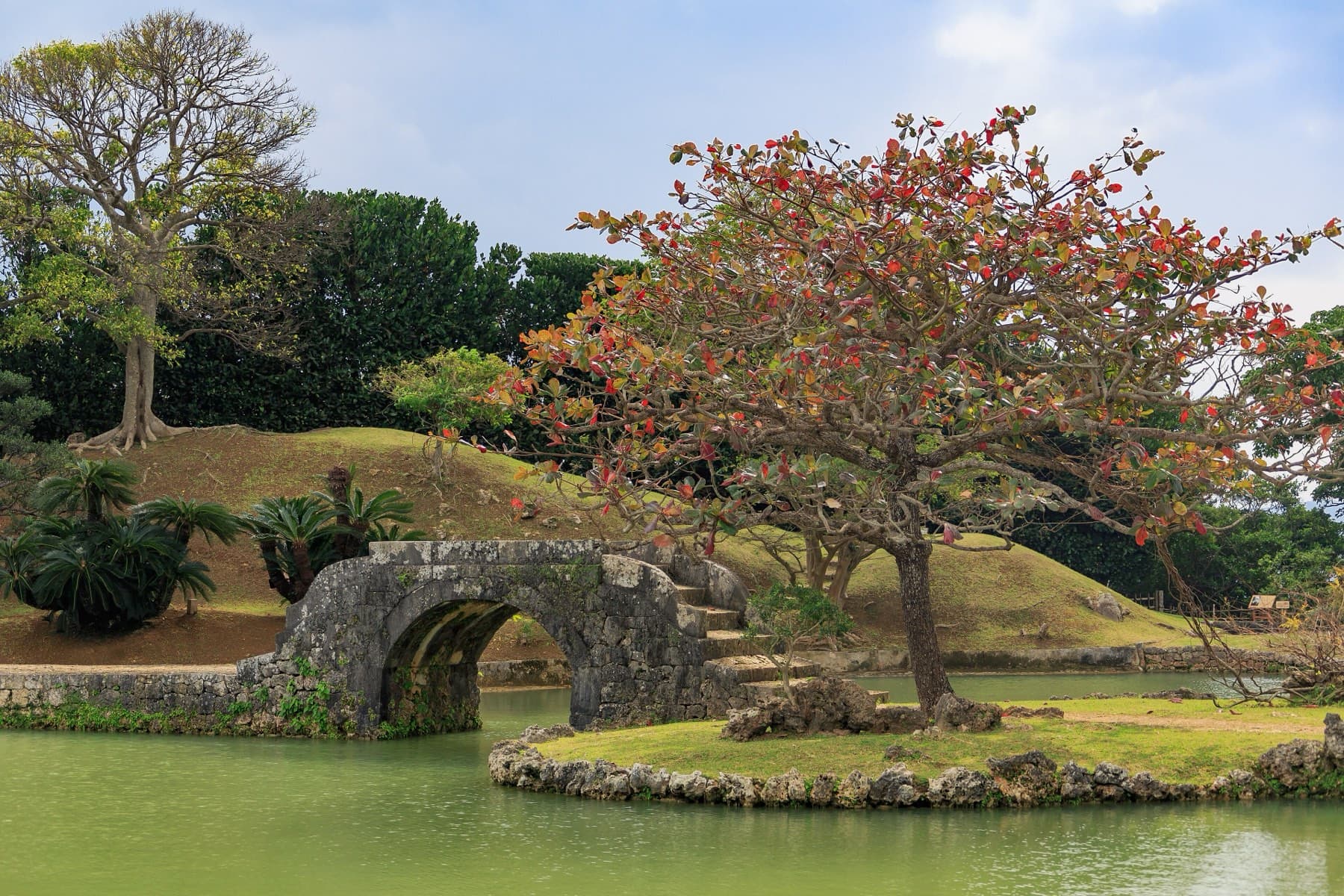
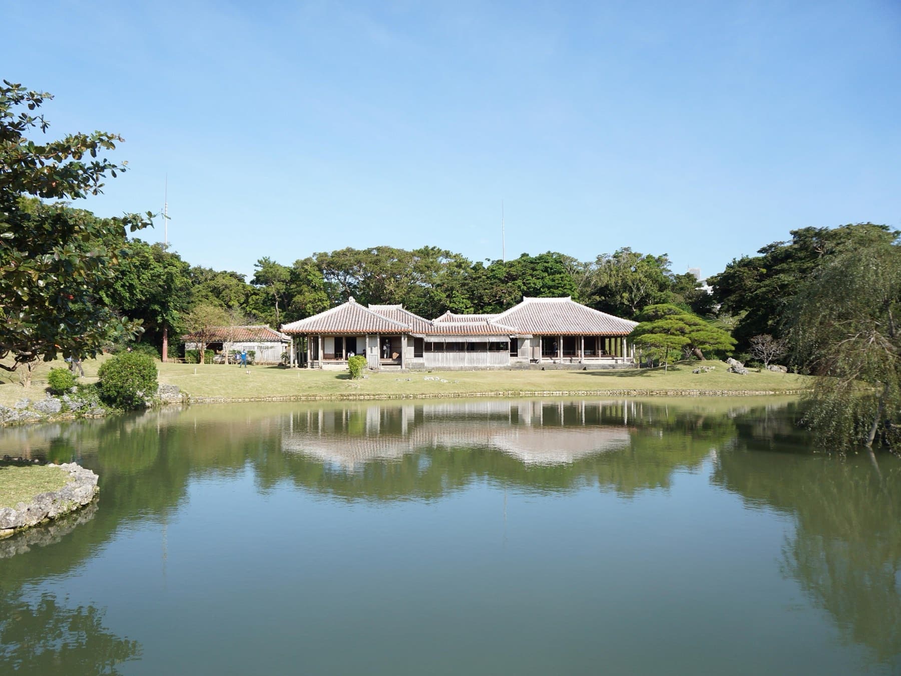
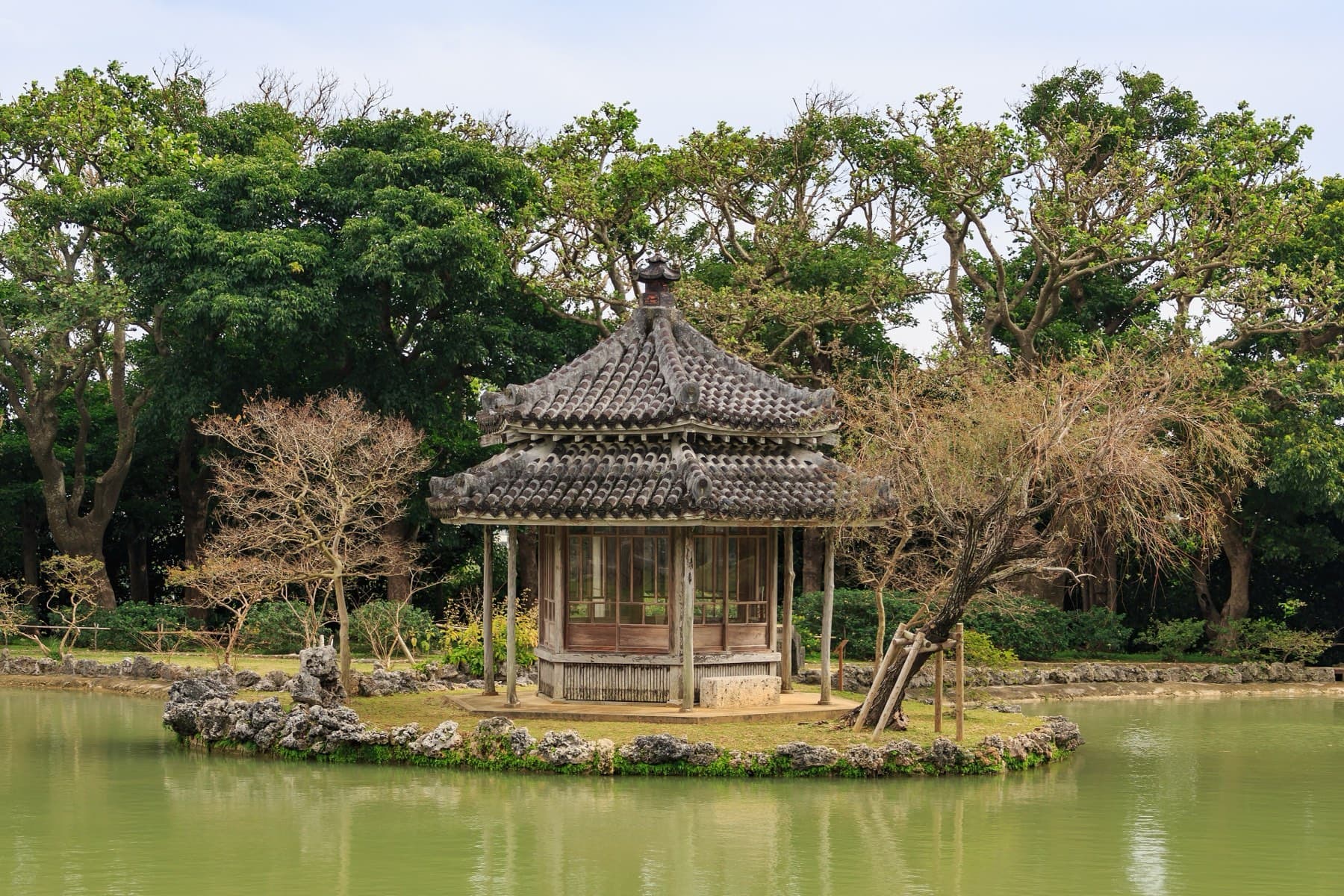
Culture and history
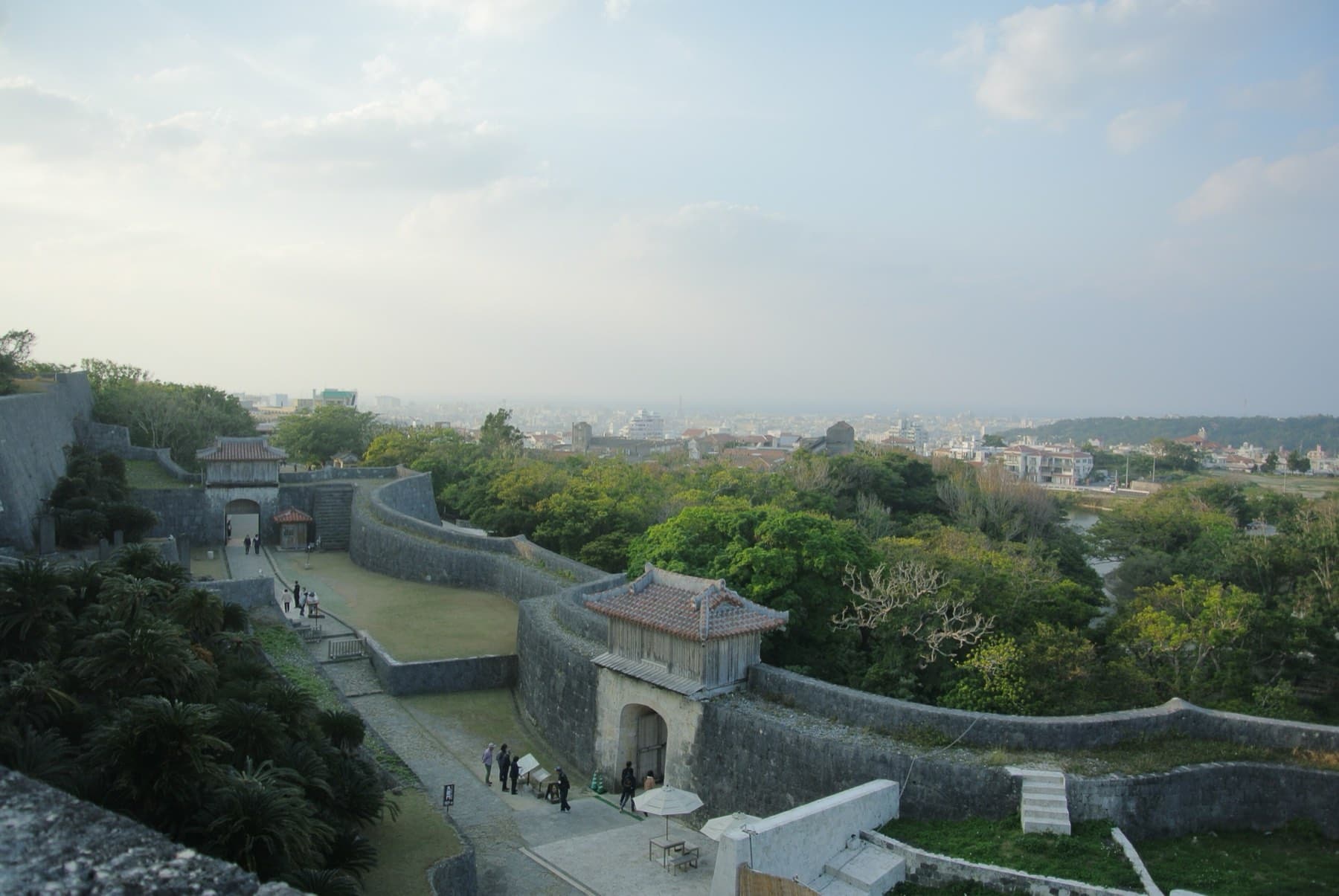
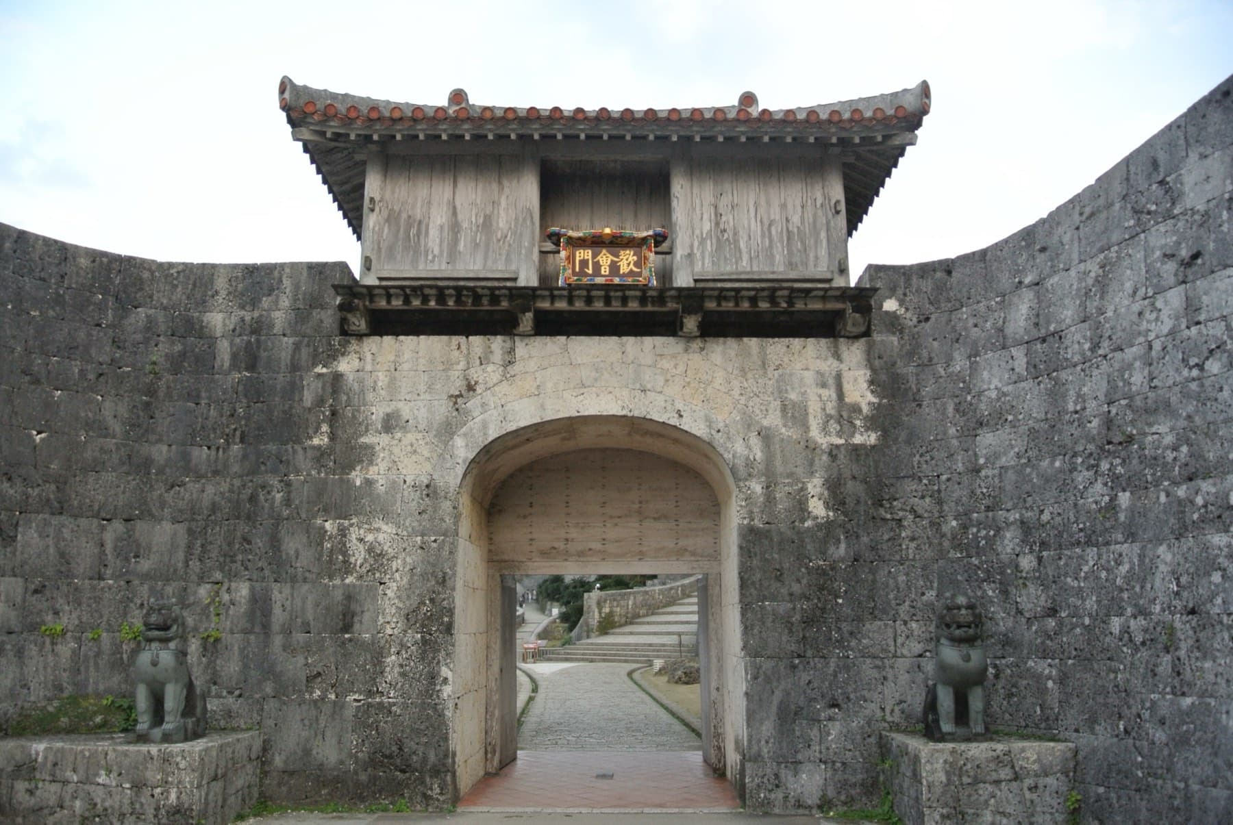
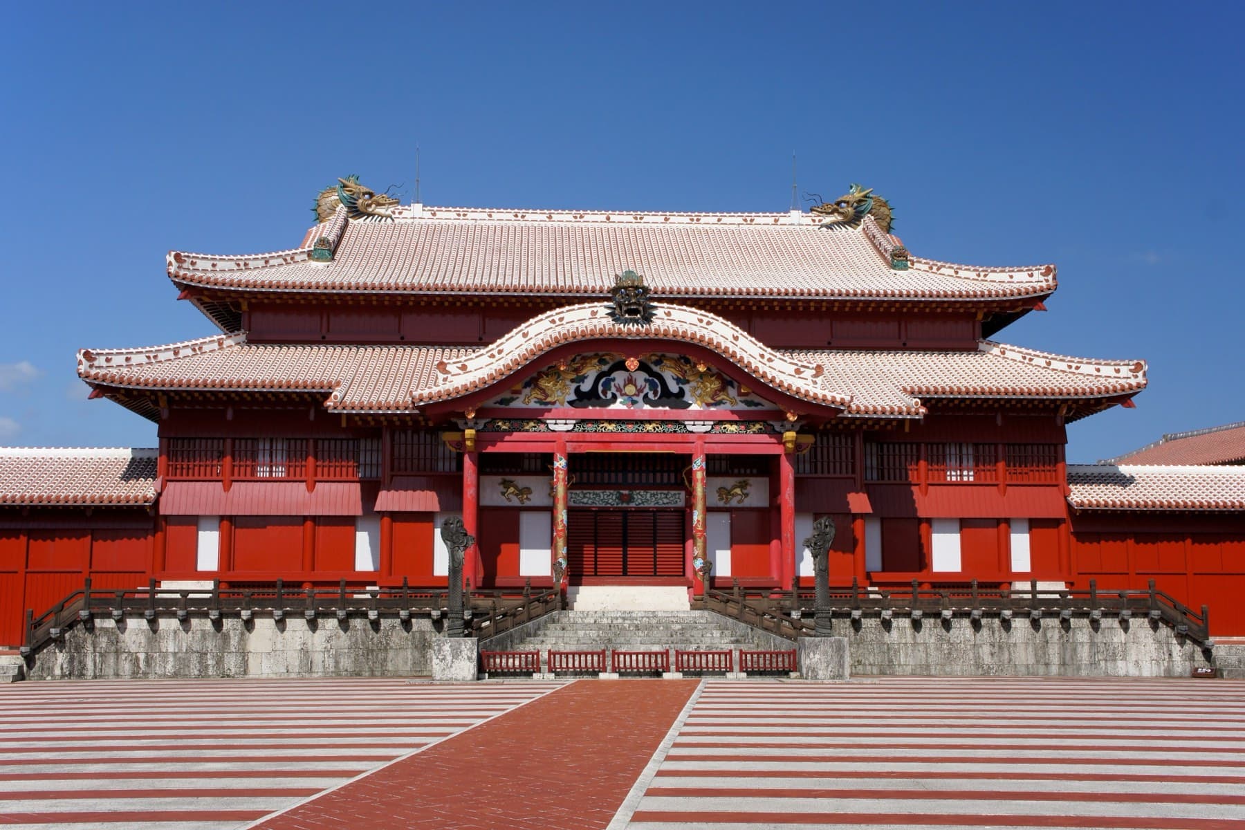
Walk the kingdom's castles and the potters' lanes文化
Trip planner · 旅の計画
Give it your dates and it books the boats in the right order.
The planner builds a day-by-day trip from our own database: island hops on the real ferries and flights, stays at your price, beaches on the sheltered coast and, if you ride, ride days that finish with the wind behind you.
Practical guides
Sort out the details before you fly案内
guide
How do you bring your own bike to Okinawa?
All seven domestic airlines we checked fly bikes into Naha, and JAL, JTA, RAC, ANA and Skymark carry one inside your free allowance. Here's what each charges, how the monorail and buses treat a rinko bag, and where to leave the empty box.
guide
How do you hop between Okinawa's islands?
Boats from Naha reach the Keramas and Kume-jima, Ishigaki's Ritou Terminal sends high-speed boats across the Yaeyamas, and Miyako and Ishigaki are a flight from Naha. Here's which boats carry a bike and what the winter north wind does to the timetable.
guide
How does cycling differ on Okinawa's outer islands?
Miyako's bridges and capes take the full winter north-northeasterly, Taketomi's village lanes are coral sand, Iriomote asks for 40 km/h to protect its wildcats, and of the two Yaeyama ferry companies only Anei Kanko loads an unbagged bike on its high-speed boats.